
Cancel Drawing
Show Tutorial


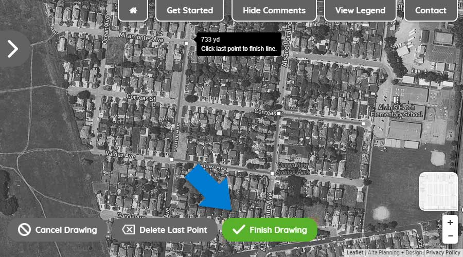
Step One: Using your mouse or touchscreen, left click on or touch the map to show where you begin your trip.
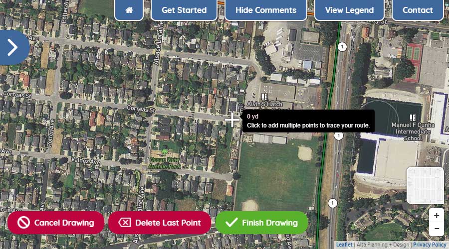
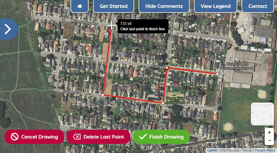
Step Two: With the first point drawn, continue by left-clicking or touching the map to show where you turn along your route.
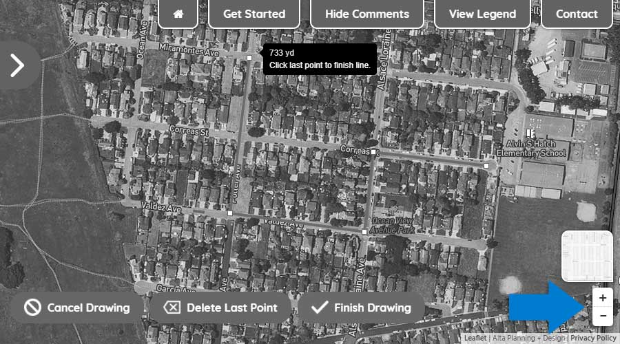
Step Three: To move the map while drawing your route, hold down your left button on your mouse and move the mouse to get to your desired location on the map or simply drag the map with your fingers on your touchscreen. To zoom in and out, use the wheel on your mouse or use the +/- icons in the lower right of your screen.
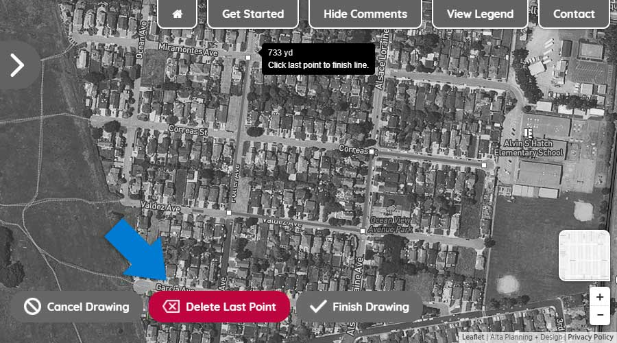
Step Four: To delete the last drawn point on your route, click the "Delete Last Point" button.
Step Five: To finish drawing your route, double click on the final point or click the "Finish Drawing" button.
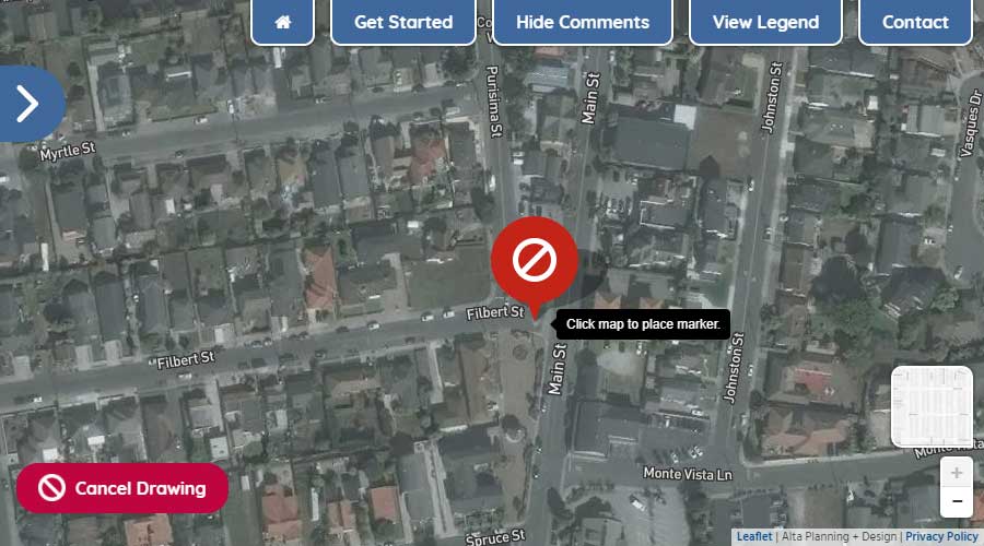
Using your mouse or touchscreen, left click on or touch the map to add a marker to the map.
Paths shared by people walking and biking completely separated from motor vehicle traffic. These facilities tend to be comfortable for people of all ages and abilities.
Raised intersections reinforce slow speeds and encourage motorists to yield to pedestrians at the crosswalk, thus creating a safe, slow-speed crossing at intersections.
Valley gutters assist with water drainage at intersections and can also serve as a traffic calming tool as they create a dip at an intersection approach, causing people to slow down.
Traffic filters prevent motorists from making through movements in an intersection while providing space for bicyclists to cross one direction of traffic at a time. Diverters discourage traffic from cutting through a neighborhood while also improving crossings for people biking.
Gateway treatements physcially narrow the entrance to a street with curb and landscaping. They will add landscaping to the street, slow vehicle speeds, and designate the entrance to the Calm East Oakland corridors.
Neighborhood traffic circles lower speeds at smaller intersections and provide an opportunity for plantings or other beutification in the intersection.
Median improvements provide access for people walking and biking across existing medians.
An exit only intersection would prevent motorists from turning onto a local street from a main street. This would minimize cut thru traffic.
Intersection tables reinforce slow speeds by raising an intersection after a crosswalk. This improvement is a lower cost alternative to raised intersections.
This improvement converts an existing two-way stop intersection to an all-way stop intersection. An all-way stop intersection improves safety for people walking and biking as well as people driving. All motorists will be required to stop to allow people walking to cross.
The goal of Calm Streets is to make streets safe for people walking and biking. Calm Streets include a combination of the following improvements both at intersections and along corridors to slow down motorists and improve safety and facilities for people walking and biking.
Chicanes create a horizontal diversion of traffic, which reduces vehicle speeds and creates more opportunities for landscaping.
Bicycle boulevards are roads that have traffic calming features and prioritize people biking and walking. These are commonly designated on neighborhood streets. Traffic calming features can slow down people driving making neighborhood streets more comfortable for active transportation.
Marked crosswalks make motorists aware that they must yield to pedestrians.
Curb extensions extend the curb into the street and improve visibility at intersections, and slow vehicular turning speeds.
Speed humps are vertical traffic calming devices that are placed every 100'-200' to slow down people driving.


